This visible image of Tropical Storm Miriam was captured by NOAA's GOES-15 satellite on Sept. 26, 2012 at 10:45 a.m. EDT off the coast of Baja California. The strongest thunderstorms were in a large band of thunderstorms north and northwest…
Satellite Sees Miriam Weaken to a Tropical Storm
This NOAA GOES-East satellite animation shows the development of System 91L into Tropical Storm Andrea over the course of 3 days from June 4 to June 6, just after Andrea was officially designated a tropical storm.   Credit:  NASA's GOES Pro…
NASA Sees Heavy Rainfall in Tropical Storm Andrea
NASA image acquired Sept 6, 2010 at 16 :45 UTC  Tropical Storm Hermine (10L) in the Gulf of Mexico  Satellite: Terra  Credit: NASA/GSFC/Jeff Schmaltz/MODIS Land Rapid Response Team  To learn more go to: <a href="http://www.nasa.gov/mission_…
Tropical Storm Hermine in the Gulf of Mexico
NOAA's GOES-West satellite watched as Tropical Storm Lowell strengthened into a large hurricane during the morning of August 21 and opened its eye.   Hurricane force winds extend outward up to 60 miles (95 km) from the center, while tropica…
Tropical Storm Lowell Becomes 7th Eastern Pacific Hurricane
Radar and satellite imagery indicate that the convective organization of the cyclone has improved, and the cyclone is being upgraded based on a sustained wind report of 33 kt from Settlement Point, Grand Bahama Island earlier this morning.…
Tropical Storm Arthur Forms
On Tuesday, June 11, 2013 Tropical Storm Yagi spun in the North Pacific Ocean just south of Japan. The Moderate Resolution Imaging Spectroradiometer (MODIS) aboard NASA’s Aqua satellite captured this beautiful true-color image of the storm…
Tropical Storm Yagi off Japan
This image of tropical storm Andrea was assembled from data collected by NOAA's GOES-14 satellite at 8:31 a.m. EDT on June 7, when the storm's center was about 35 miles north-northwest of Charleston, S.C.   Credit: NASA/NOAA GOES Project  <…
Tropical Storm Andrea June 7, 2013
This is a satellite image from the MODIS instrument aboard NASA's Terra satellite of Tropical Storm Andrea that was captured today, June 7 at 12:10 p.m. EDT- as Andrea makes its way up the U.S. East coast. At this time, Andrea was centered…
NASA's Terra satellite of Tropical Storm Andrea
This visible image of Tropical Storm Leslie and Hurricane Michael was taken by the MODIS instrument aboard both NASA's Aqua and Terra satellites on Sept. 9 at 12:50 p.m. EDT.  Credit: NASA Goddard/MODIS Rapid Response Team   --  Satellite i…
NASA Catches Tropical Storm Leslie and Hurricane Michael in the Atlantic
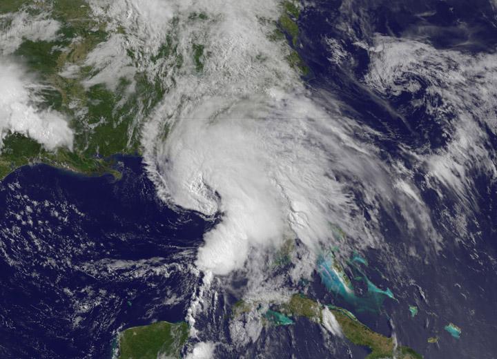
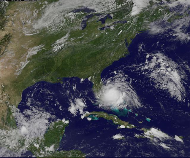
NASA’s Terra satellite passed over Tropical Storm Andrea on June 5 at 16:25 UTC (12:25 p.m. EDT) and the MODIS instrument captured this visible image of the storm. Andrea’s clouds had already extended over more than half of Florida.    Cred…
NASA Sees Heavy Rainfall in Tropical Storm Andrea
No more images