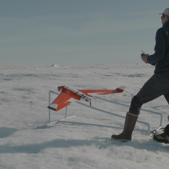
At 1 p.m. EDT (10 a.m. PDT) on Friday, Aug. 28, NASA's Goddard Space Flight Center in Greenbelt, Maryland, will host a live TV program about agency research into how and why the massive Greenland ice sheet is changing. The event features sc…

This figure is a drawing of the F-1 engine with callouts of the major components and the engine characteristics.

A sea of icebergs float near the Thurston Island calving front off of western Antarctica as seen on the IceBridge flight on Nov. 5, 2014. Image Credit: NASA/Jim Yungel NASA’s Operation IceBridge collected some rare images on a flight out…

Snow is blown off of the Thurston Island calving front off of western Antarctica as seen on the IceBridge flight on Nov. 5, 2014. Image Credit: NASA/Jim Yungel NASA’s Operation IceBridge collected some rare images on a flight out of Punta…

This figure is a line drawing of the J-2 engine with callouts of the major components and the engine characteristics.
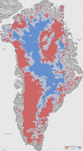
NASA researchers have helped produce the first map showing what parts of the bottom of the massive Greenland Ice Sheet are thawed – key information in better predicting how the ice sheet will react to a warming climate. Greenland’s thick i…

A small hole in the clouds revealed newly formed sea ice in the Bellingshausen Sea next to an ice berg on Nov. 5, 2014 flight. Image Credit: NASA/Digital Mapping System NASA’s Operation IceBridge collected some rare images on a flight out…

NASA’s Operation IceBridge collected some rare images on a flight out of Punta Arenas, Chile on Nov. 5, 2014, on a science flight over western Antarctica dubbed Ferrigno-Alison-Abbott 01. Following a routine calibration pass over Punta Aren…

Speakers Bureau Annual Award Ceremony : People in photo are: Lenwood Clark, Christine Darden, Doug Dwoyer, Thayer Sheets, Paul Holloway, Cathy Schauer, Charles Blankenship, Irwin Schauer

On June 15, 2016, the Advanced Land Imager (ALI) on NASA’s Earth Observing-1 satellite acquired a natural-color image of an area just inland from the coast of southwestern Greenland (120 kilometers southeast of Ilulisat and 500 kilometers n…
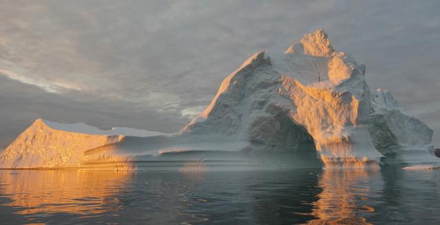
Sea level rise is a natural consequence of the warming of our planet. We know this from basic physics. When water heats up, it expands. So when the ocean warms, sea level rises. When ice is exposed to heat, it melts. And when ice on land m…

NASA's IceBridge, an airborne survey of polar ice, flew over the Helheim/Kangerdlugssuaq region of Greenland on Sept. 11, 2016. This photograph from the flight captures Greenland's Steenstrup Glacier, with the midmorning sun glinting off of…
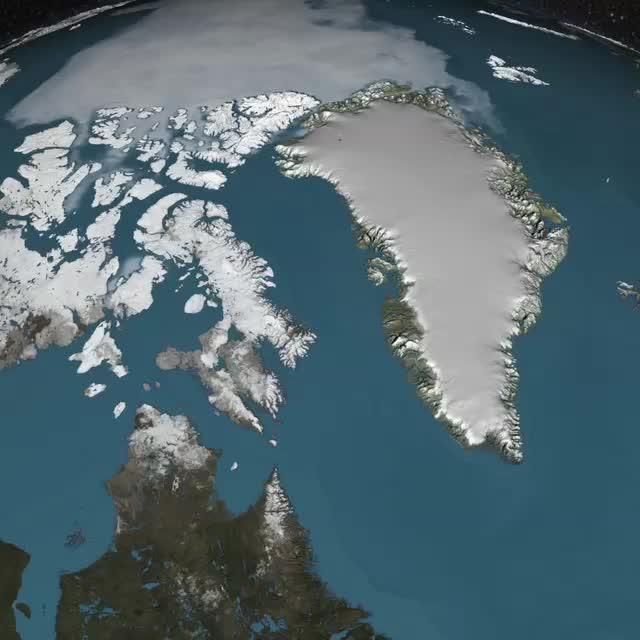
Peering into the thousands of frozen layers inside Greenland’s ice sheet is like looking back in time. Each layer provides a record of what Earth’s climate was like at the dawn of civilization, or during the last ice age, or during an ancie…

The Thurston Island calving front off of western Antarctica as seen from the window of NASA's DC-8 on Nov. 5, 2014. Image Credit: NASA/Jim Yungel NASA’s Operation IceBridge collected some rare images on a flight out of Punta Arenas, Chile…

Mountain peaks through the ice cover on Thurston Island off of western Antarctica as seen on the IceBridge flight on Nov. 5, 2014. Image Credit: NASA/Jim Yungel NASA’s Operation IceBridge collected some rare images on a flight out of Punt…