A NASA Center for Climate Simulation supercomputer model that shows the flow of ‪#‎Blizzard2016‬ thru Sunday.   Learn more here: <a href="http://go.nasa.gov/1WBm547" rel="nofollow">go.nasa.gov/1WBm547</a>  <b><a href="http://www.nasa.gov/au…
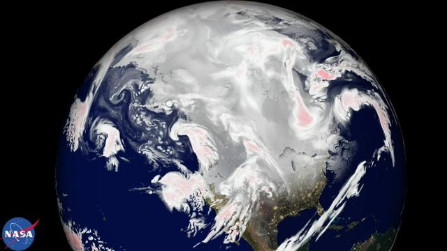
Blizzard 2016
Yet another potent winter storm battered the northeastern United States on February 14-15, 2015. The nor'easter brought 12 to 20 inches (30 to 50 centimeters) of snow across much of eastern New England, along with tropical storm force winds…
Another Blizzard Piles Up the Snow in New England
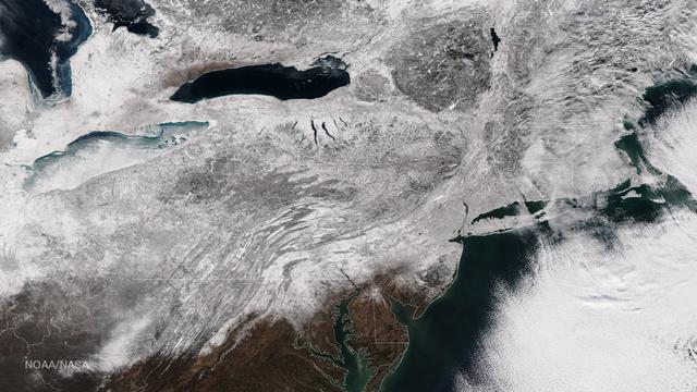
As the storm moves offshore and the skies clear over the Northeast United States, the extent of snowfall from the blizzard is shown in this image from the Suomi NPP satellite imagery, taken on January 28, 2015 at 1:50 EST. Portions of Suffo…
Blizzard Blankets the Northeast With Snow
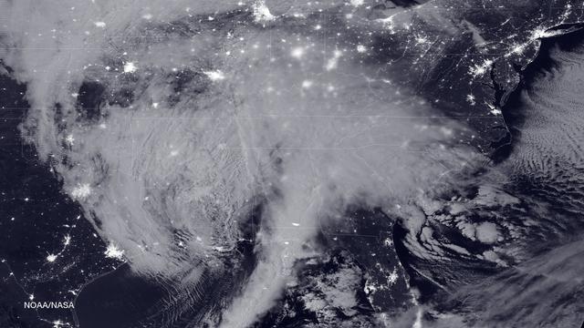
NASA and NOAA satellites are tracking the large winter storm that is expected to bring heavy snowfall to the U.S. mid-Atlantic region on Jan. 22 and 23. NASA-NOAA's Suomi NPP satellite snapped this image of the approaching blizzard around 2…
Blizzard Bears Down on U.S. East Coast
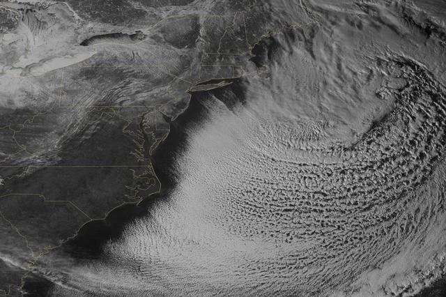
This image was taken by the Suomi NPP satellite's VIIRS instrument at 1825Z on January 26, 2015.  A low pressure system currently forming off the mid-Atlantic coast will rapidly strengthen into a major nor'easter today and affect parts of t…
Major Nor'easter Set to Impact Northeast U.S.
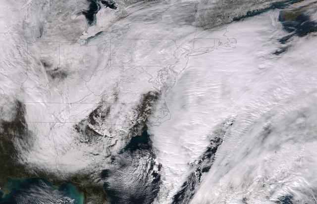
This full-disk image from the GOES-13 satellite was captured at 23:45 UTC (6:45 p.m. ET) and shows a winter blizzard blanketing the eastern United States on January 22, 2016.  <b><a href="http://goes.gsfc.nasa.gov/" rel="nofollow">Credit: N…
Blizzard Blankets Eastern United States
Image acquired December 19, 2011  A strong low pressure area in the southwestern U.S. today is bringing snowfall there as NOAA's GOES-13 satellite captured its associated clouds. Blizzard warnings are already posted for some areas.  The ima…
GOES Satellite Sees Strong Front Bringing Blizzard Conditions to U.S. Southwest
No more images