
Hurricane Joaquin is seen in the Atlantic Ocean north of Bermuda in this image taken by GOES East at 1315 UTC (9:15 a.m. EDT) on October 5, 2015. <b><a href="http://goes.gsfc.nasa.gov/" rel="nofollow">Credit: NOAA/NASA GOES Project</a></b>…
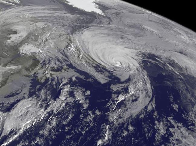
NOAA's GOES-East satellite captured a visible image of the storm on Sunday, Oct. 18 at 1145 UTC (7:45 a.m. EDT) that showed it in the North Atlantic, blanketing eastern Canada and stretching east over open waters. ..Credit: NOAA/NASA GOES P…

On Oct. 18 at 17:35 UTC (1:35 p.m EDT) the MODIS instrument aboard NASA's Aqua satellite saw Hurricane Gonzalo approaching Newfoundland. ..Credit: NASA Goddard MODIS Rapid Response Team..<b><a href="http://www.nasa.gov/audience/formedia/fe…
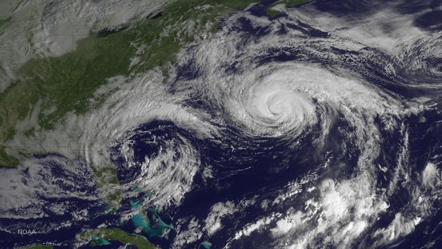
Hurricane Joaquin is seen in the Atlantic Ocean north of Bermuda in this image taken by GOES East at 1315 UTC (9:15 a.m. EDT) on October 5, 2015. Credit: NASA/NOAA via <b><a href="www.nnvl.noaa.gov/" rel="nofollow"> NOAA Environmental Visu…

On Oct. 19 at 1500 UTC (11 a.m. EDT), the MODIS instrument aboard NASA's Terra satellite captured this visible image of Hurricane Gonzalo east of Newfoundland, Canada. ..Credit: NASA Goddard MODIS Rapid Response Team ..<b><a href="http://w…
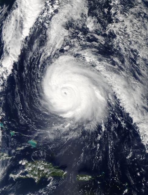
On Oct. 16 at 17:45 UTC NASA's Terra satellite captured this image of Hurricane Gonzalo in the Atlantic Ocean. Image Credit: NASA Goddard MODIS Rapid Response Team-- NASA and NOAA satellites have been providing continuous coverage of Hurr…

Hurricane Gonzalo is moving toward the northwest near 12 mph. A turn toward the north-northwest and then north is expected during the next day or so, followed by a north northeastward acceleration by late Thursday. Maximum sustained winds a…

On Oct. 17 at 15:15 UTC (11:15 a.m EDT) the MODIS instrument aboard NASA's Aqua satellite saw Hurricane Gonzalo's northern quadrant over Bermuda as it moved to landfall. ..Credit: NASA Goddard MODIS Rapid Response Team ..<b><a href="http:/…

Hurricane Gonzalo has made the jump to major hurricane status and on Oct. 15 was a Category 4 storm on the Saffir-Simpson Hurricane Scale. NOAA's GOES-East satellite provided imagery of the storm. According to the National Hurricane Center,…