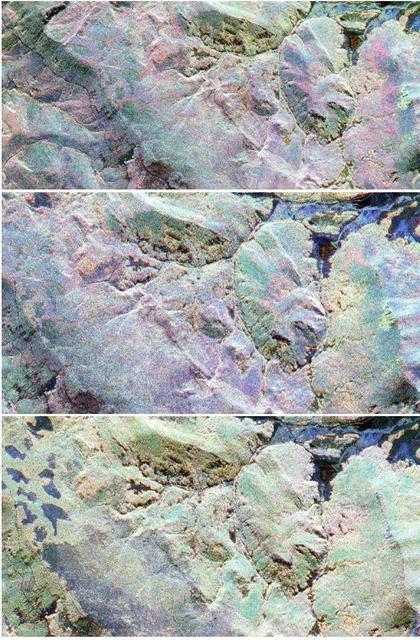
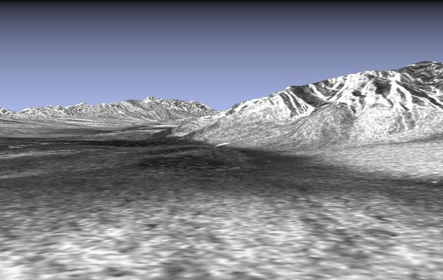
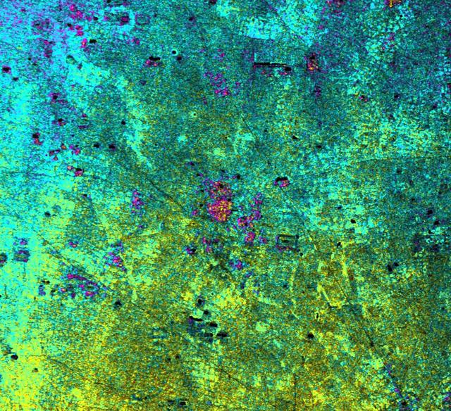
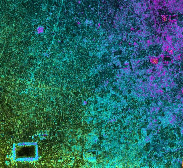
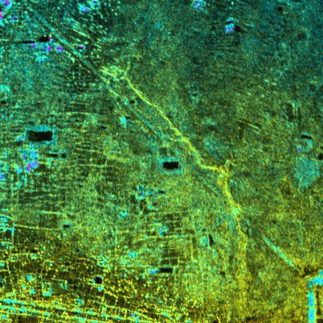
This sequence of three images in northern Colorado, taken by NASA Airborne Synthetic Aperture Radar AIRSAR in 2002, shows Fraser, Colorado, before snowfall, the morning after snow, and after the snow melted.
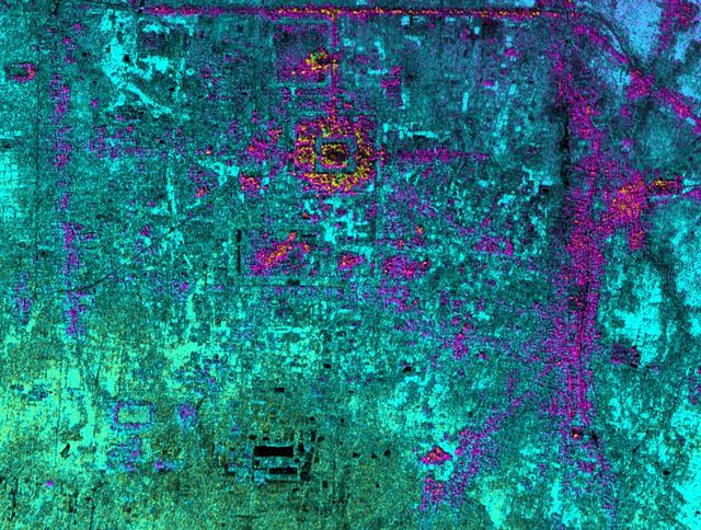
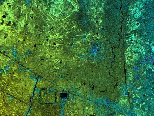
This radar image, taken by NASA Airborne Synthetic Aperture Radar AIRSAR in 2002, shows Hariharalaya, the ancient 9th Century A.D. capitol of the Khmer in Cambodia in the upper center portion.
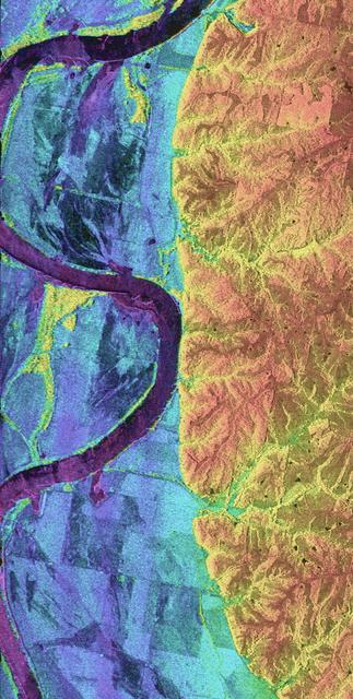
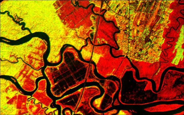
This is a combined radar and topography image of an area along the Missouri River that experienced severe flooding and levee failure in the summer of 1993.
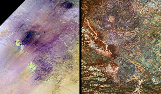
These images show two views of a region of south-central Egypt. On the left is an optical image from NASA Landsat Thematic Mapper, and on the right is a radar image from NASA Spaceborne Imaging Radar-C/X-band Synthetic Aperture Radar SIR-C/…
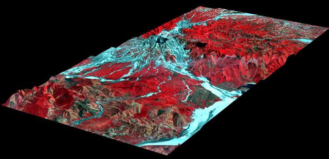
This three-dimensional perspective of the remote Karakax Valley in the northern Tibetan Plateau of western China was created by combining two spaceborne radar images using a technique known as interferometry. Visualizations like this are he…
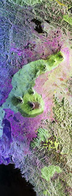
This is a false-color radar image of Central Africa, showing the Virunga Volcano chain along the borders of Rwanda, Zaire and Uganda. This area is home to the endangered mountain gorillas. This C-band L-band image was acquired on April 12,…
This spaceborne radar image shows the intensive agricultural development in central Ukraine, along the Dnieper River. The area shown lies about 320 kilometers 198 miles southeast of Kiev and about 360 kilometers 223 miles northeast of Odess…
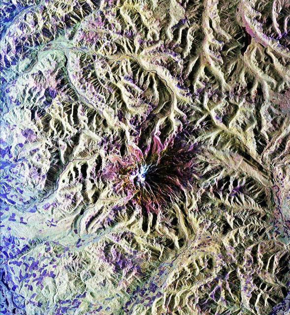
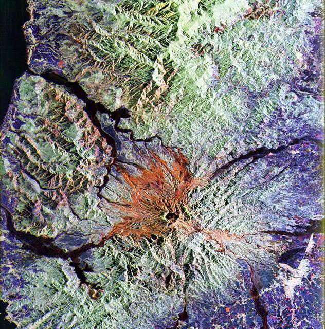
This is a radar image of Mount Rainier in Washington state. The volcano last erupted about 150 years ago and numerous large floods and debris flows have originated on its slopes during the last century. Today the volcano is heavily mantled…
This radar image shows the area west of the Nile River near Cairo, Egypt. The Nile River is the dark band along the right side of the image and it flows approximately due North from the bottom to the right. The boundary between dense urbani…
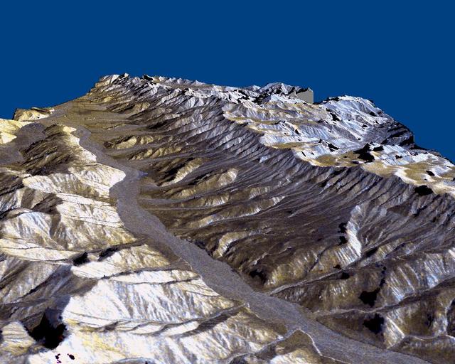
This picture is a three-dimensional perspective view of Death Valley, California. This view was constructed by overlaying a NASA SIR-C radar image on a U.S. Geological Survey digital elevation map.
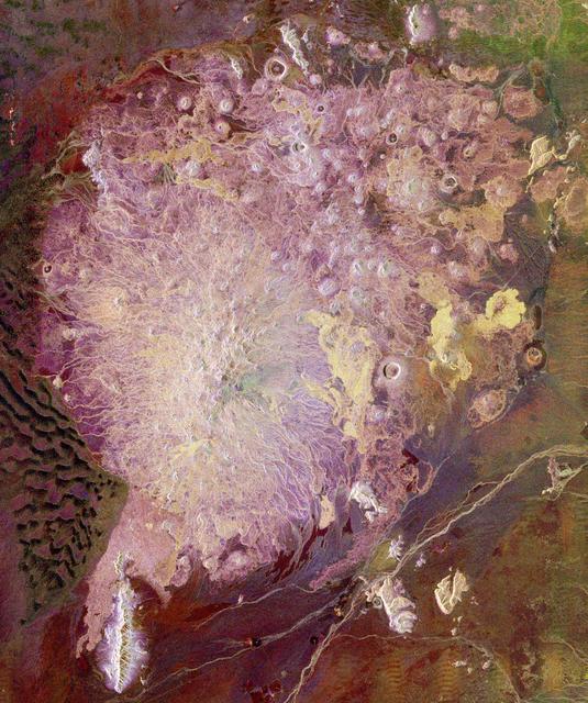
This spaceborne radar image shows the Pinacate Volcanic Field in the state of Sonora, Mexico, about 150 kilometers 93 miles southeast of Yuma, Arizona. The United States/Mexico border runs across the upper right corner of the image.
This image of Houston, Texas, shows the amount of detail that is possible to obtain using spaceborne radar imaging. Images such as this -- obtained by the Spaceborne Imaging Radar-C/X-band Synthetic Aperture Radar (SIR-C/X-SAR) flying aboa…
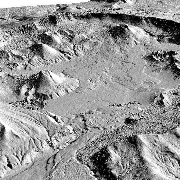
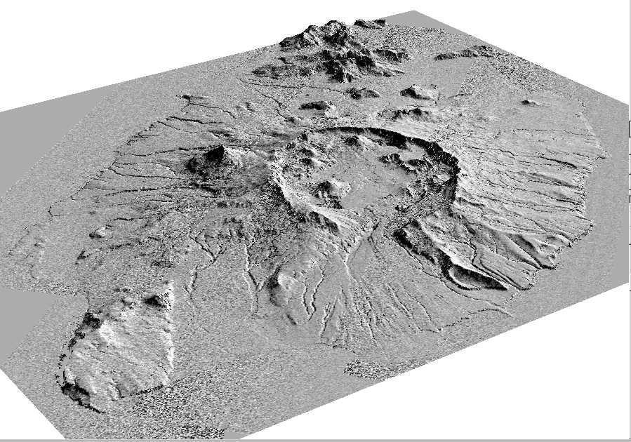
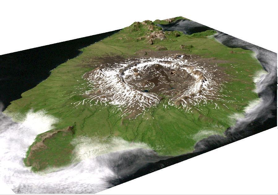
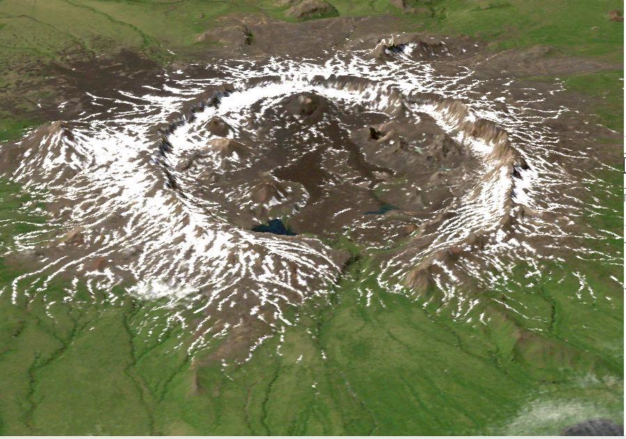
This perspective view shows the caldera of the Okmok volcano in Alaska Aleutian Islands acquired by NASA Airborne Synthetic Aperture Radar AIRSAR in 2001.
This perspective view shows the caldera of the Okmok volcano in Alaska Aleutian Islands acquired by NASA Airborne Synthetic Aperture Radar AIRSAR in 2001.
This image is a perspective view acquired by NASA Airborne Synthetic Aperture Radar AIRSAR in 2001, is of Umnak Island, one of Alaska Aleutian Islands. The active Okmok volcano appears in the center of the island.
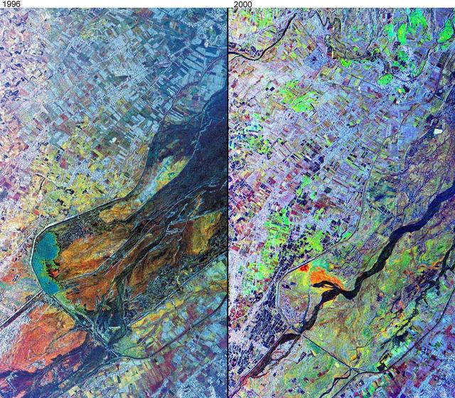
This comparison image, acquired by NASA Airborne Synthetic Aperture Radar AIRSAR November, 1996 and September, 2000, shows the effects of the June 15, 1991, eruption of Mt. Pinatubo.
This radar image of the Midland/Odessa region of West Texas, demonstrates an experimental technique, called ScanSAR, that allows scientists to rapidly image large areas of the Earth's surface. The large image covers an area 245 kilometers b…
This is the first calibrated, multi-frequency, multi-polarization spaceborne radar image of the seasonal sea-ice cover in the Weddell Sea, Antarctica. The multi-channel data provide scientists with details about the ice pack they cannot see…
This image is a false-color composite of Raco, Michigan, centered at 46.39 degrees north latitude, 84.88 degrees west longitude. This image was acquired by the Spaceborne Imaging Radar-C and X-Band Synthetic Aperture Radar (SIR-C/X-SAR) abo…
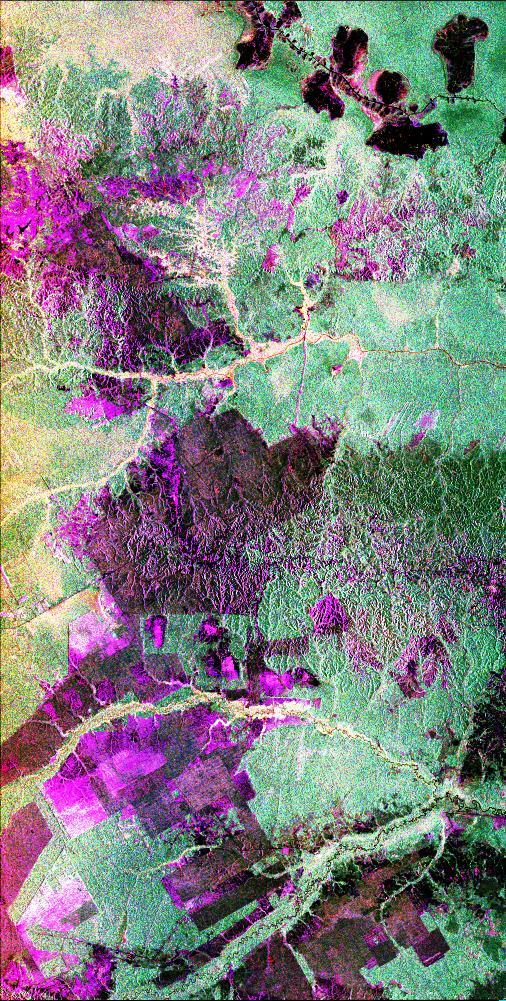
This is a radar image of the central part of the island of Sumatra in Indonesia that shows how the tropical rainforest typical of this country is being impacted by human activity. Native forest appears in green in this image, while prominen…
This radar image covers a portion of the Richtersveld National Park and Orange River top of image in the Northern Cape Province of the Republic of South Africa.
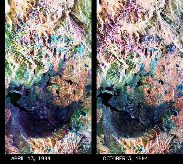
These two false-color composite images of the Mammoth Mountain area in the Sierra Nevada Mountains, Calif., show significant seasonal changes in snow cover. The image at left was acquired by the Spaceborne Imaging Radar-C and X-band Synthet…
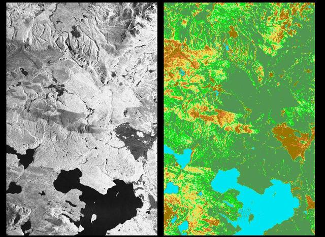
These two radar images show the majestic Yellowstone National Park, Wyoming, the oldest national park in the United States and home to the world's most spectacular geysers and hot springs. The region supports large populations of grizzly be…
The ability of a sophisticated radar instrument to image large regions of the world from space, using different frequencies that can penetrate dry sand cover, produced the discovery in this image: a previously unknown branch of an ancient r…
This spaceborne radar image shows the city of Phnom Penh, the capital of Cambodia. Phnom Penh lies at the confluence of the Mekong River and the Basak Sab.
Scientists are using this radar image of the area surrounding Sunbury, Pennsylvania to study the geologic structure and land use patterns in the Appalachian Valley and Ridge province. This image was collected on October 6, 1994 by the Space…
This radar image of Salt Lake City, Utah, illustrates the different land use patterns that are present in the Utah Valley. Salt Lake City lies between the shores of the Great Salt Lake (the dark area on the left side of the image) and the W…
This radar image acquired by NASA Airborne Synthetic Aperture Radar AIRSAR in August, 2000, shows the western end of the island of Upolu in the nation of Western Samoa.
This image is a perspective view acquired by NASA Airborne Synthetic Aperture Radar AIRSAR in 2001, is of Umnak Island, one of Alaska Aleutian Islands. The active Okmok volcano appears in the center of the island.
This image, taken by NASA Airborne Synthetic Aperture Radar AIRSAR in 2002, is of Cambodia Angkor region revealing a temple upper-right not depicted on early 19th Century French archeological survey maps and American topographic maps.
This radar image acquired by NASA Airborne Synthetic Aperture Radar AIRSAR in August, 2000, shows most of the northern coast of the island of Upolu in the nation of Western Samoa.
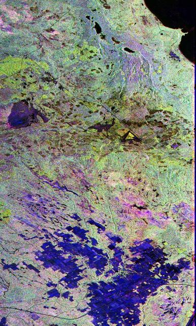
This is a false color L-band and C-band image of the area around Mount Pinatubo in the Philippines, centered at about 15 degrees north latitude, 120.5 degrees east longitude.
This spaceborne radar image of a mineral-rich region in southern China is being used by geologists to identify potential new areas for mineral exploration.
This radar image of the area surrounding the Galeras volcano in southern Colombia shows the ability of a multi-frequency radar to map volcanic structures that can be dangerous to study on the ground.
This is a radar image of an offshore drilling field about 150 km 93 miles west of Bombay, India, in the Arabian Sea. The dark streaks are extensive oil slicks surrounding many of the drilling platforms, which appear as bright white spots.
This is a radar image showing surface features on the open ocean in the northeast Atlantic Ocean. There is no land mass in this image. The purple line in the lower left of the image is the stern wake of a ship. The ship creating the wake is…
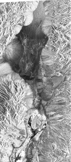
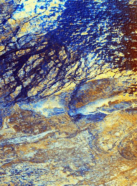
This is a radar image of a region in northern Sudan called the Keraf Suture that reveals newly discovered geologic features buried beneath layers of sand.