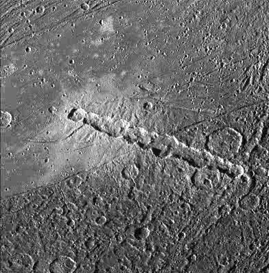
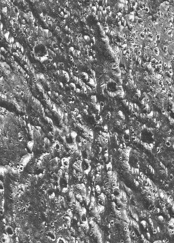
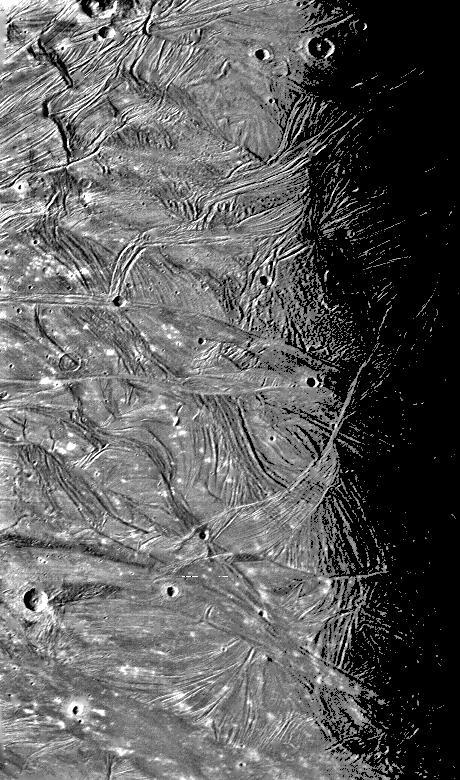
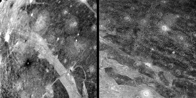
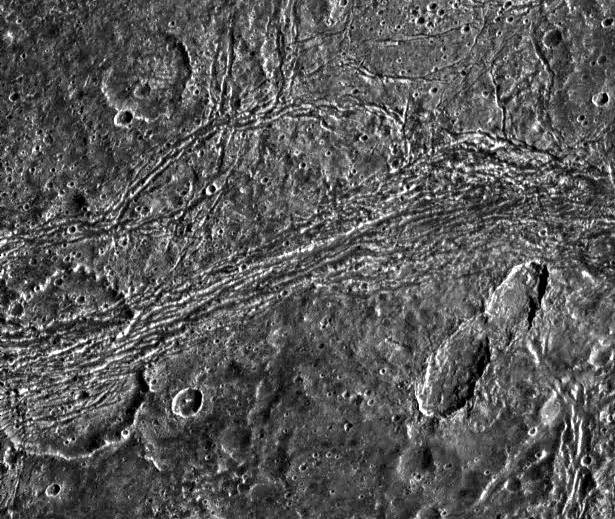
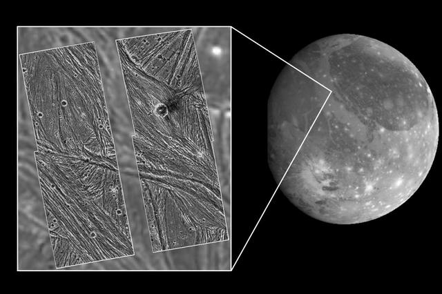
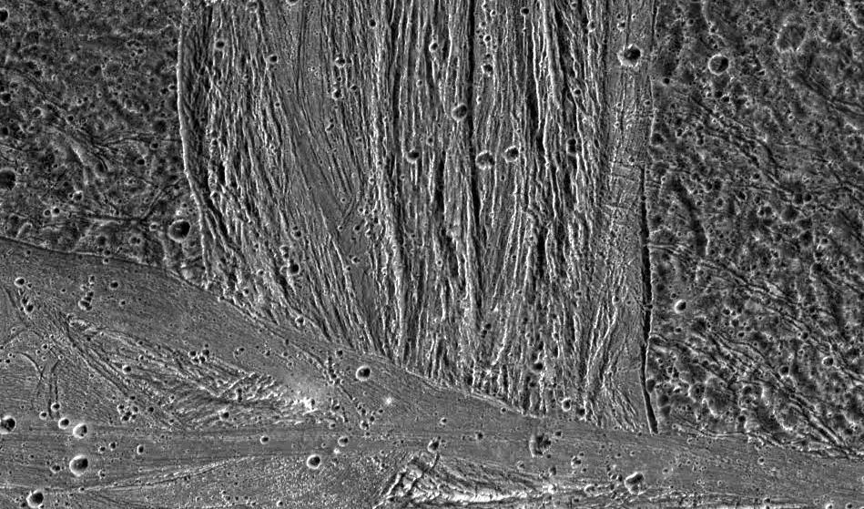
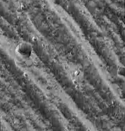
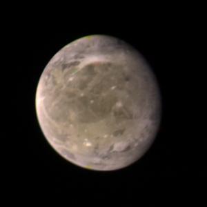
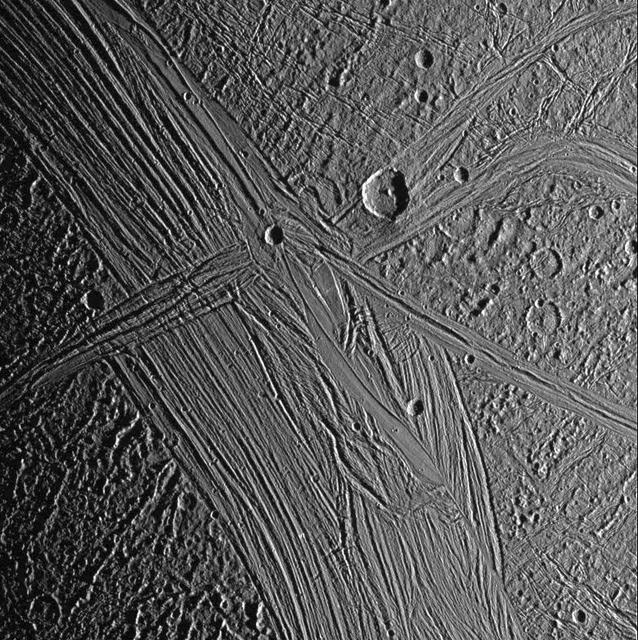
Ganymede Nippur Sulcus
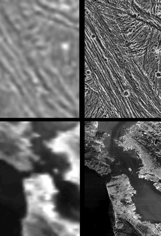
Galileo Resolutions: Ganymede and the San Francisco Bay Area
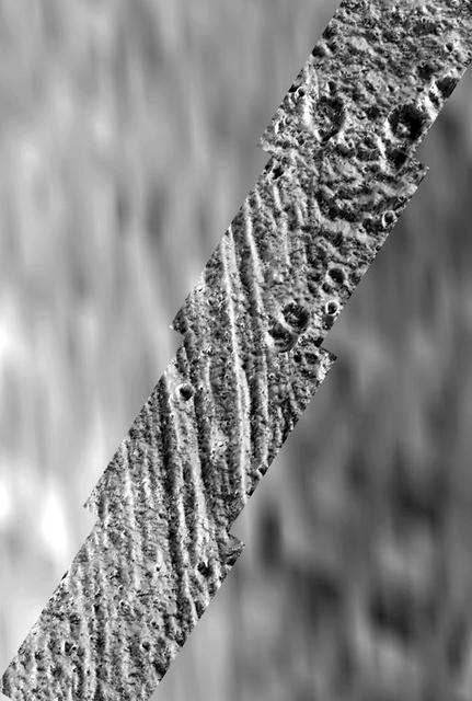
Topographic detail is seen in a stereoscopic view of this part of Jupiter moon Ganymede. This image is a computer reconstruction from two images taken by NASA Galileo spacecraft in 1996.
Stereo View of Ganymede Galileo Regio
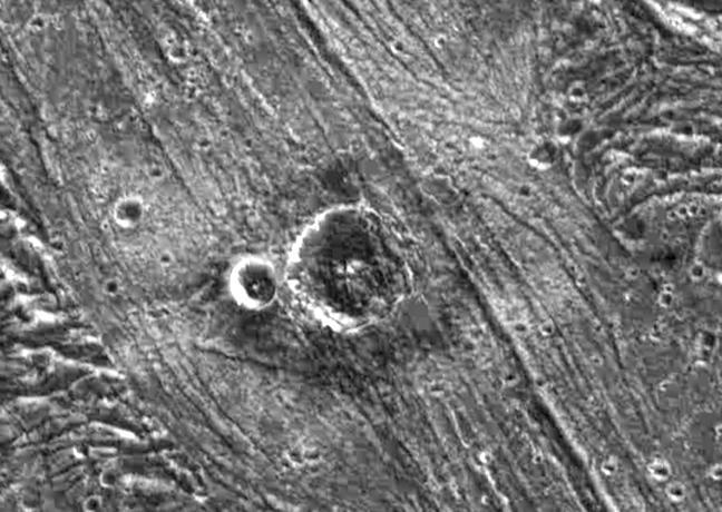
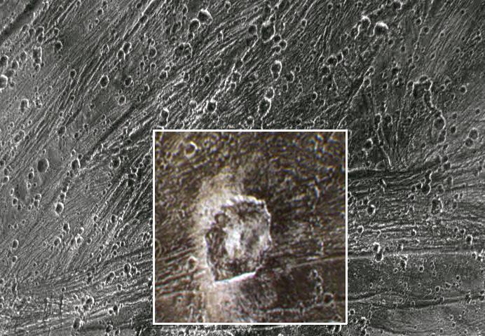
Palimpsest secondary craters on Ganymede
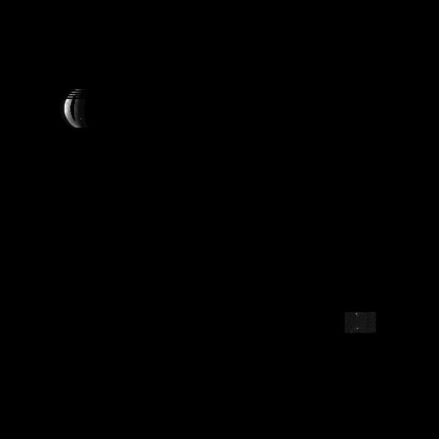
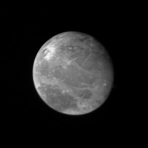
NASA Galileo spacecraft, now in orbit around Jupiter, returned this optical navigation image June 3, 1996, showing that the spacecraft is accurately targeted for its first flyby of the giant moon Ganymede on June 27.  http://photojournal.jp…
Optical Navigation Image of Ganymede
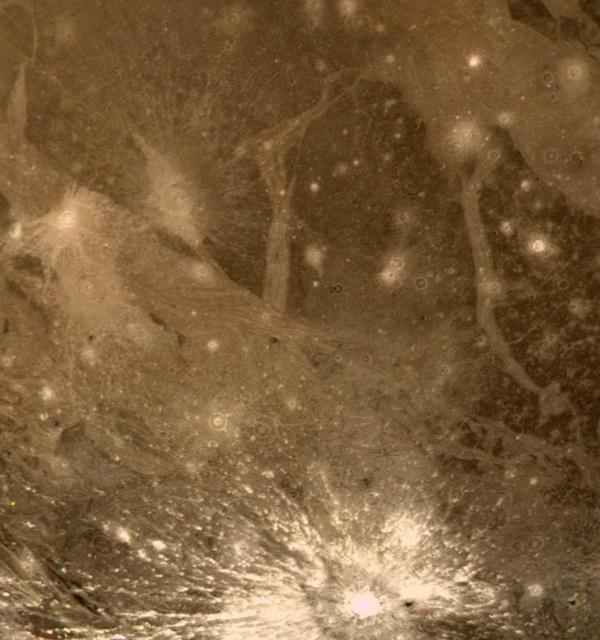
Ganymede Trailing Hemisphere
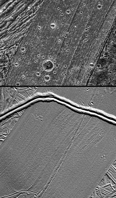
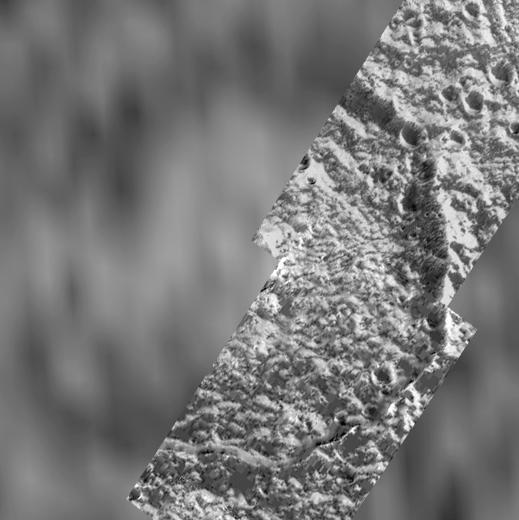
Detail of Ganymede Uruk Sulcus Region as Viewed by Galileo and Voyager
Nergal Crater on Ganymede
Anatomy of a Torn Comet
This annotated map of depicts the areas on the surface of Jupiter's moon Ganymede that were imaged by the Jovian Infrared Auroral Mapper (JIRAM) instrument aboard NASA's Juno spacecraft during two close approaches of the moon.  The region s…
Ganymede Coverage by the JIRAM Instrument Aboard Juno
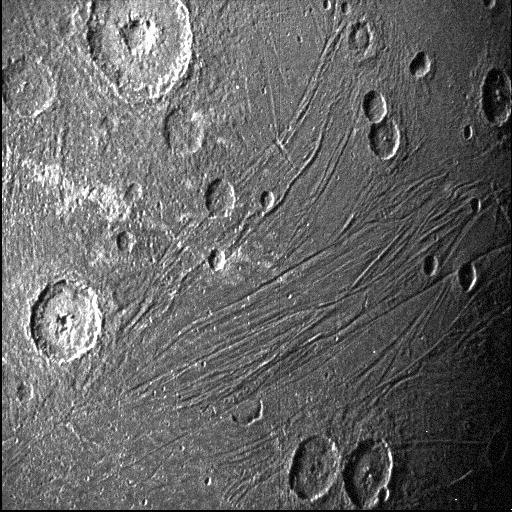
This image of the dark side of the Jovian moon Ganymede was obtained by the Stellar Reference Unit star camera aboard NASA's Juno spacecraft during its June 7, 2021, flyby of the icy moon.  Usually used to the spacecraft on course, the navi…
Close-up of Dark Side of Jupiter Moon Ganymede
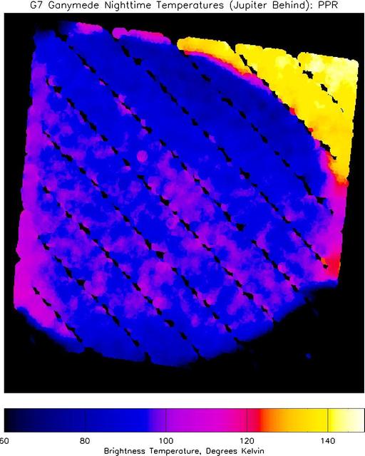
Nighttime Temperatures on Ganymede
Kittu Dark Ray Crater
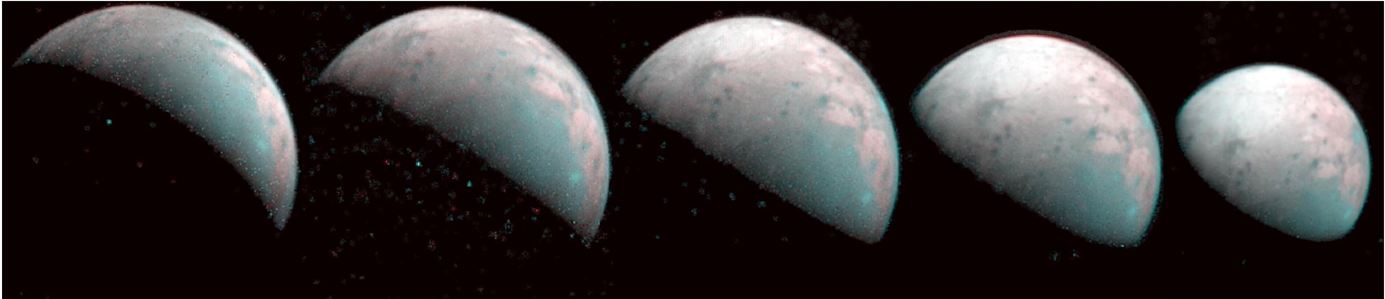
The north pole of Jupiter's giant moon Ganymede can be seen in this composite image of infrared data from the Jovian Infrared Auroral Mapper (JIRAM) instrument aboard NASA's Juno spacecraft. Five infrared images were taken every 20 minutes,…
Five Ganymedes
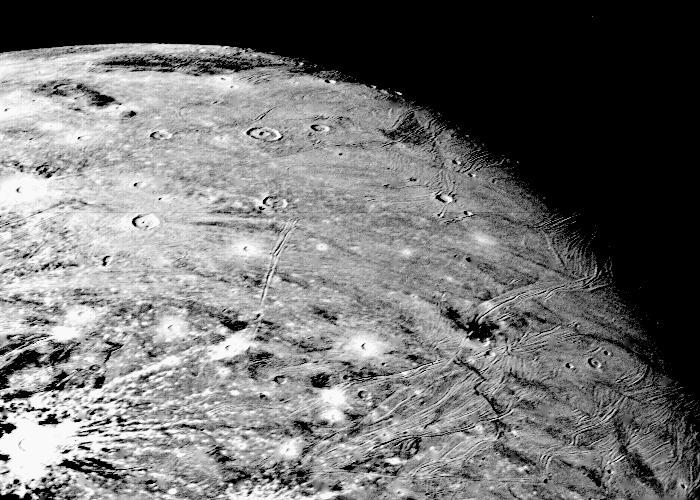
This picture of Ganymede, Jupiter's largest satellite, was taken by NASA's Voyager 1 on the afternoon of March 5, 1979, from a range of about 250,000 km (150,000 mi.). The center of the picture is at 60 north latitude and 318 longitude, and…
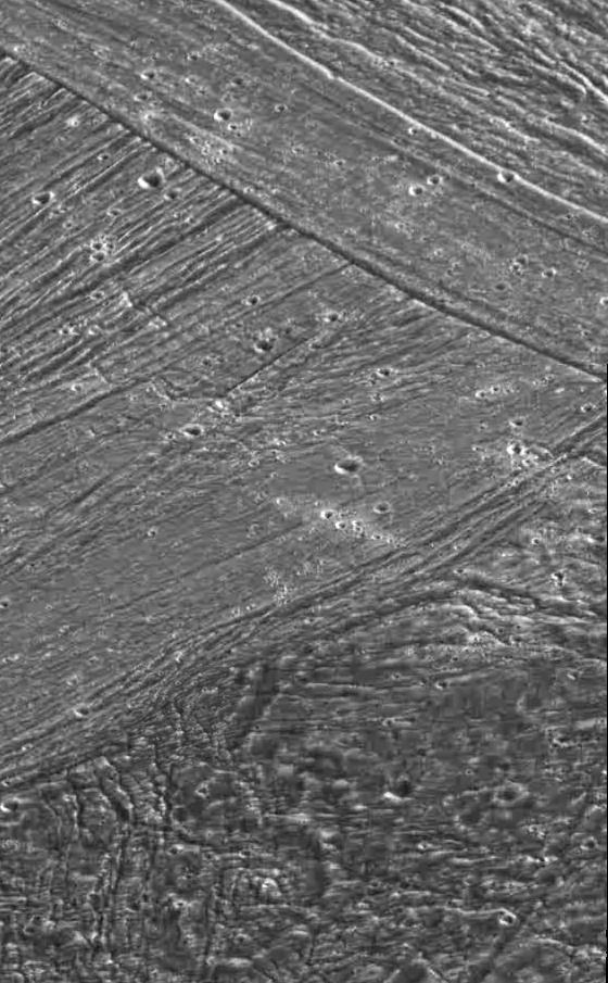
Ganymede At 150,000 Miles
Ganymede Feature Resembling Europa
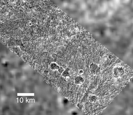
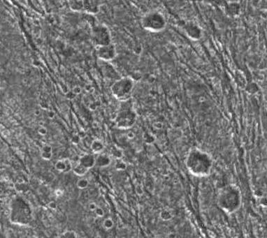
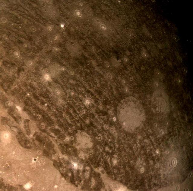
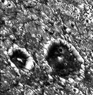
Ancient impact craters shown in this image of Jupiter moon Ganymede taken by NASA Galileo spacecraft testify to the great age of the terrain, dating back several billion years.  http://photojournal.jpl.nasa.gov/catalog/PIA00279
Ganymede - Ancient Impact Craters in Galileo Regio
This map shows the temperatures for most of the surface of Ganymede made from data taken by on Jun. 26, 1996 as NASA Galileo approached the sunlit side of the moon.
Temperature Map of Ganymede
A Polar Crater on Ganymede
Cutaway views of the possible internal structures of the Galilean satellites. Ganymede at lower left, Callisto at lower right, Io on upper left, and Europa on upper right in a combined biew from NASA Galileo and Voyager spacecraft.
Possible Internal Structures of the Galilean Satellites
Ganymede at 87,000 miles  http://photojournal.jpl.nasa.gov/catalog/PIA00354
Ganymede at 87,000 miles
Ganymede - Surface
Ganymede - Surface
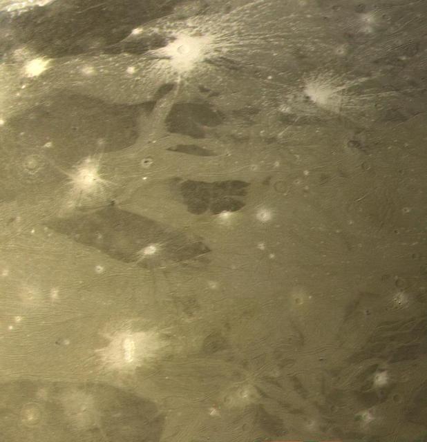
High Latitude Bright and Dark Terrains on Ganymede
A Tumultuous Past for Ganymede Dark Terrain
Secondary Craters on Ganymede
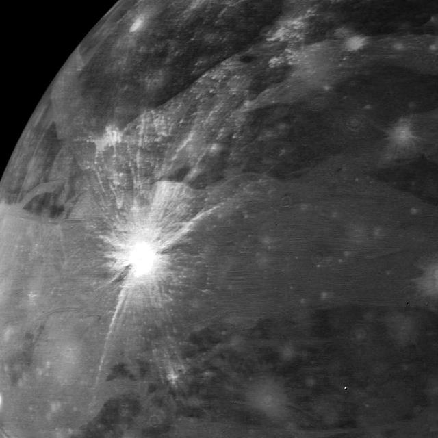
Bright Halo Impact Crater on Ganymede  http://photojournal.jpl.nasa.gov/catalog/PIA00357
Bright Halo Impact Crater on Ganymede
Fractured Craters on Ganymede
Geological Mysteries on Ganymede
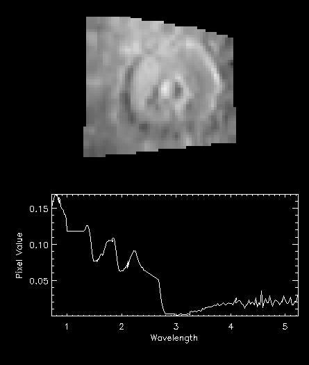
NIMS Observes Melkart Crater on Ganymede
Ganymede
Ganymede
Uruk Sulcus Mosaic - Galileo over Voyager Data
Ganymede Uruk Sulcus High Resolution Mosaic Shown in Context
Swaths of Grooved Terrain on Ganymede
Bright and Dark Slopes on Ganymede
Ganymede at 3.4 million miles  http://photojournal.jpl.nasa.gov/catalog/PIA00352
Ganymede at 3.4 million miles
Ganymede Northern Hemisphere  http://photojournal.jpl.nasa.gov/catalog/PIA00356
Ganymede Northern Hemisphere
Morning in Tiamat Sulcus
Galileo Regio Mosaic - Galileo over Voyager Data
Ganymede
Ganymede
Ganymede
Ganymede
Ganymede at 2.6 million miles  http://photojournal.jpl.nasa.gov/catalog/PIA00351
Ganymede at 2.6 million miles
Not-so-smooth Bright Terrain of Harpagia Sulcus
This animation illustrates how the magnetic field surrounding Jupiter's moon Ganymede (represented by the blue lines) interacts with and disrupts the magnetic field surrounding Jupiter (represented by the orange lines).  During the June 202…
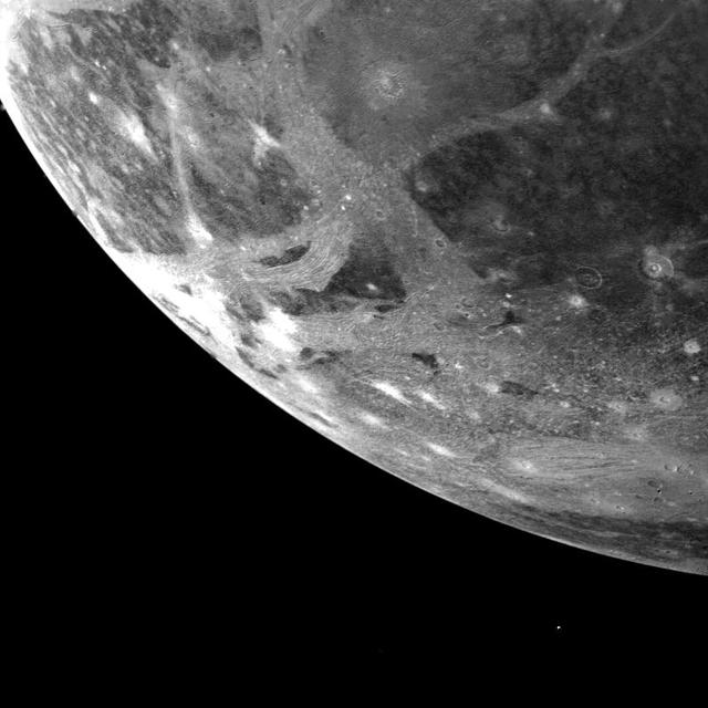
NASA's Juno Mission Explores the Magnetic Connection Between Jupiter and Ganymede
Dark-floored Impact Craters on Ganymede
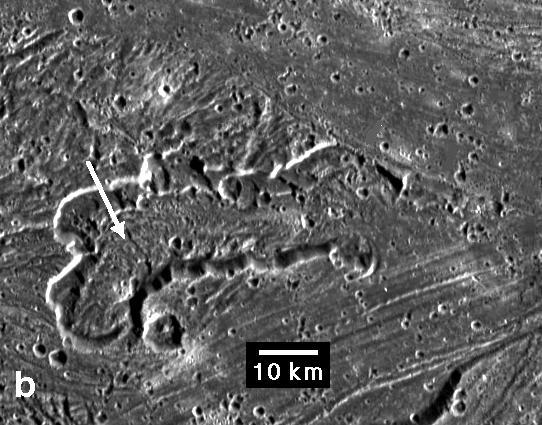
Caldera in Sippar Sulcus, Ganymede
Cratering and Grooved Terrain on Ganymede
This mosaic of Jupiter’s moon Ganymede consists of more than 100 images acquired with NASA’s Voyager and Galileo spacecrafts, showing irregular lumps beneath the icy surface.
Lumps Within Ganymede
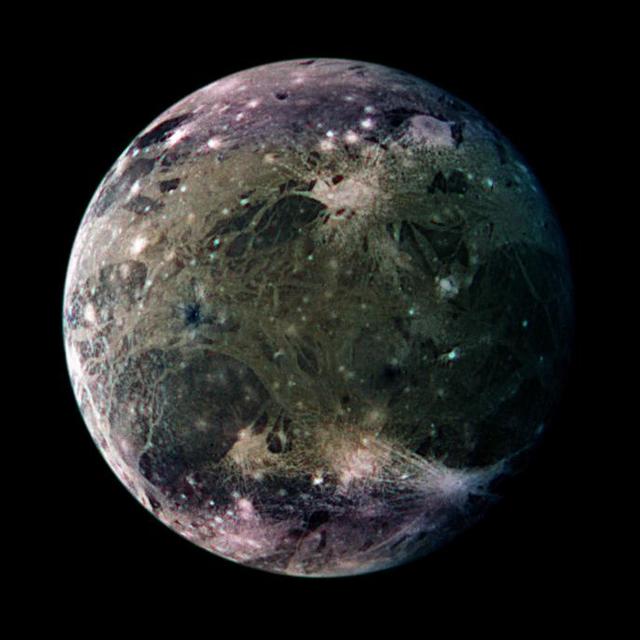
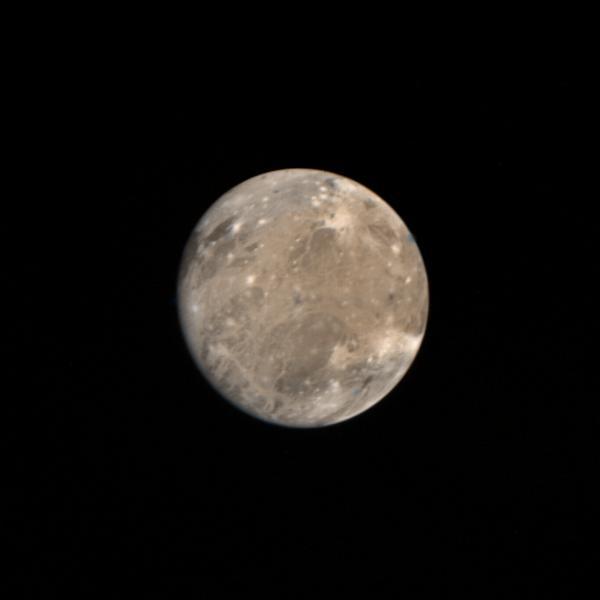
Ganymede Full Disk  http://photojournal.jpl.nasa.gov/catalog/PIA00353
Ganymede Full Disk