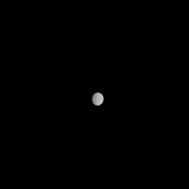
In this image, dwarf planet Ceres is seen on Feb. 4, 2015, from a distance of about 90,000 miles 145,000 kilometers. NASA Dawn spacecraft is due to arrive at Ceres on March 6, 2015. http://photojournal.jpl.nasa.gov/catalog/PIA19181
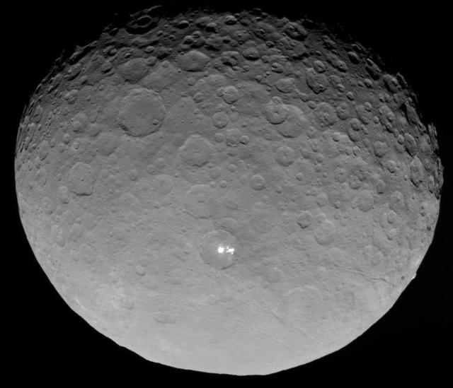
In this closest-yet view of Ceres, the brightest spots within a crater in the northern hemisphere are revealed to be composed of many smaller spots. This frame is from an animation of sequences taken by NASA Dawn spacecraft on May 4, 2015.…

This image, taken by NASA Dawn spacecraft on Sept. 20, 2015, shows a portion of the northern hemisphere of dwarf planet Ceres from an altitude of 915 miles 1,470 kilometers, and has a resolution of 450 feet 140 meters per pixel. http://pho…
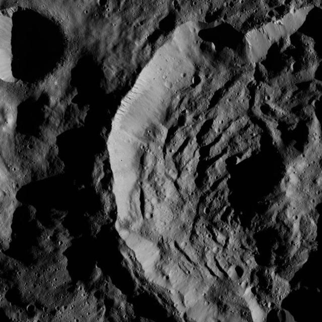
This view from NASA Dawn spacecraft shows part of the crater named Sekhet on Ceres. Prominent shadows within the crater highlight Sekhet central peak and mounds of material that have slumped downward from its walls.

NASA Dawn spacecraft captured this image on Dec. 18, 2015 of unnamed craters near the equator of Ceres. The image is centered at approximately 4 degrees south latitude, 350 degrees east longitude. Dawn took this image on Dec. 18, 2015, fro…
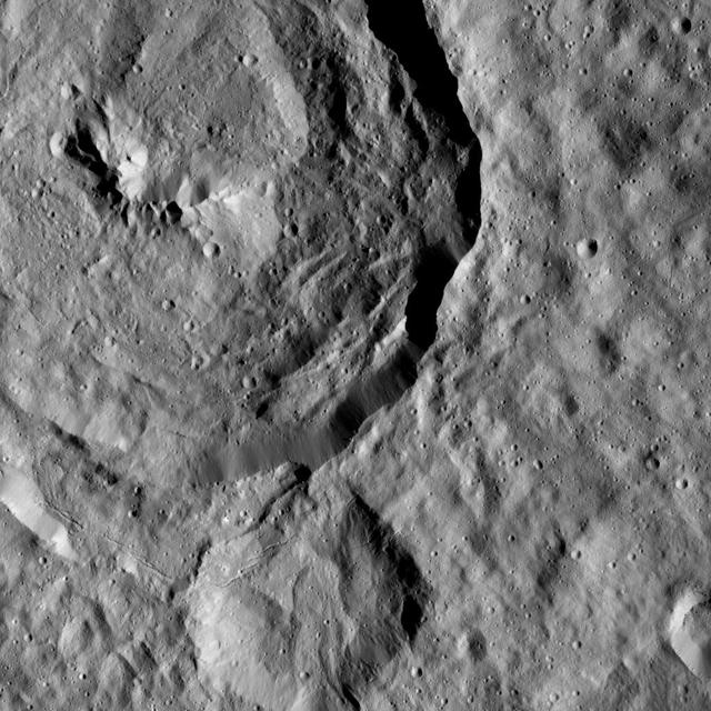
Tupo Crater, named for the Polynesian god of turmeric, is shown at upper left in this view of Ceres from NASA Dawn spacecraft. Just below the crater, a line of narrow troughs parallels the rim of Tupo.

The inset perspective view from NASA Dawn space of Ceres bright spot Occator Crator is overlaid with data concerning the composition. Red signifies a high abundance of carbonates, while gray indicates a low carbonate abundance. http://photo…

This photo of Ceres and the bright regions in Occator Crater was one of the last views NASA's Dawn spacecraft transmitted before it depleted its remaining hydrazine and completed its mission. This view, which faces south, was captured on S…
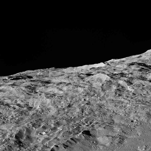
These views of Ceres, taken by NASA Dawn spacecraft on December 10, show an area in the southern part of the southern hemisphere of the dwarf planet.

This view from NASA Dawn spacecraft features a smooth-walled impact crater in the northern hemisphere of Ceres. The view is centered at approximately 65 degrees north latitude, 155 degrees east longitude.

This view, made using images taken by NASA Dawn spacecraft, is a color-coded topographic map of Occator crater on Ceres. Blue is the lowest elevation, and brown is the highest. http://photojournal.jpl.nasa.gov/catalog/PIA19975

This image, taken by NASA Dawn spacecraft, shows a portion of the northern hemisphere of dwarf planet Ceres from an altitude of 915 miles 1,470 kilometers. The image was taken on Sept. 22, 2015, and has a resolution of 450 feet 140 meters p…
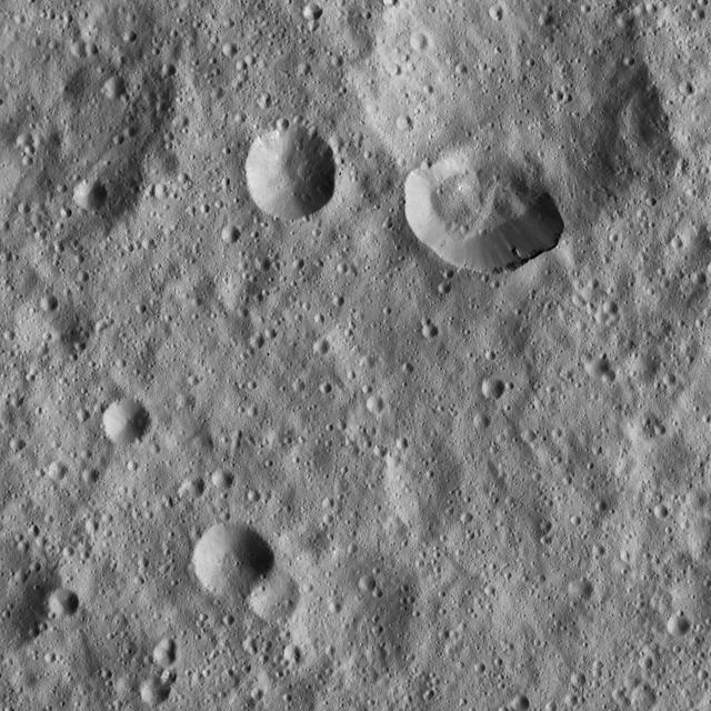
Ceres densely cratered landscape is revealed in this image taken by the framing camera aboard NASA Dawn spacecraft. The craters show various degrees of degradation. The youngest craters have sharp rims.

This processed image, taken Jan. 13, 2015, shows the dwarf planet Ceres as seen from the Dawn spacecraft. The image hints at craters on the surface of Ceres. Dawn framing camera took this image at 238,000 miles 383,000 kilometers from Ceres…
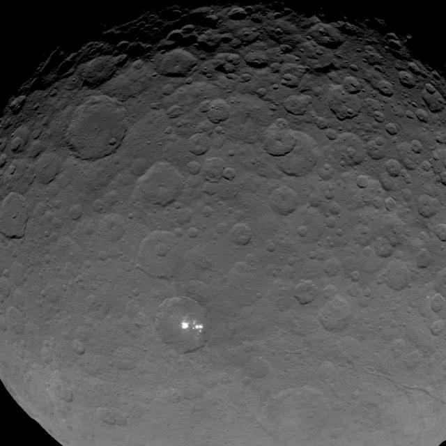
This image of Ceres is part of a sequence taken by NASA Dawn spacecraft on May 16, 2015, from a distance of 4,500 miles 7,200 kilometers. http://photojournal.jpl.nasa.gov/catalog/PIA19559
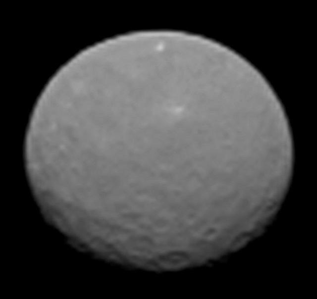
This image is one several images NASA Dawn spacecraft took on approach to Ceres on Feb. 4, 2015 at a distance of about 90,000 miles 145,000 kilometers from the dwarf planet. http://photojournal.jpl.nasa.gov/catalog/PIA19179
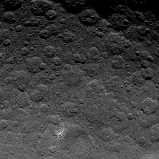
The north pole of Ceres can be seen in this image taken on June 9, 2015 by NASA Dawn spacecraft, shows dwarf planet Ceres from an altitude of 2,700 miles 4,400 kilometers with a resolution of 1,400 feet 410 meters per pixel. http://photojo…
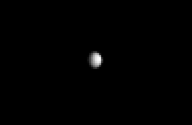
From about three times the distance from Earth to the moon, NASA's Dawn spacecraft spies its final destination -- the dwarf planet Ceres. The resolution of this image does not yet exceed the best views of Ceres, which were obtained by the…

This artist's concept shows a diagram of how the inside of Ceres could be structured, based on data about the dwarf planet's gravity field from NASA's Dawn mission. Using information about Ceres' gravity and topography, scientists found th…
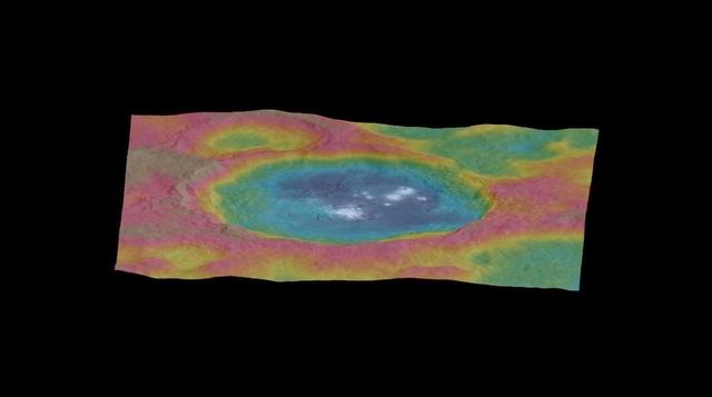
This still from an animation, made using images taken by NASA's Dawn spacecraft, features a color-coded topographic map of Occator crater on Ceres. Elevations span a range of about 4 miles (6 kilometers) from the lowest places in Occator t…
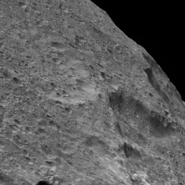
NASA Dawn spacecraft captured this view of a region in the mid-southern latitudes of Ceres. The largest crater in the scene is Fluusa. Fluusa has a densely cratered floor and therefore is interpreted as an old impact feature.

This image was obtained by NASA's Dawn spacecraft on June, 16 2018 from an altitude of about 24 miles (39 kilometers). NASA announced the conclusion of Dawn's mission operations was Oct. 31, 2018, when the spacecraft depleted its hydrazine.…
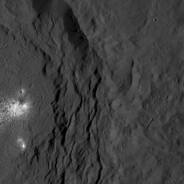
A cluster of bright areas in Ceres Occator Crater are seen in this image from NASA Dawn spacecraft. These areas are not as bright as the material at the center of the crater. Dawn took this image on June 16, 2016, from its low-altitude map…
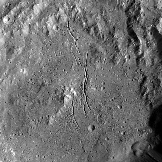
NASA Dawn spacecraft shows Azacca Crater has a prominent set of north-south trending fractures. Its floor is relatively smooth and its rim has terraces descending toward its floor. Azacca was named for the Haitian god of agriculture.

This graphic shows a theoretical path of a water molecule on Ceres. Some water molecules fall into cold, dark craters at high latitudes called "cold traps," where very little of the ice turns into vapor, even over the course of a billion ye…
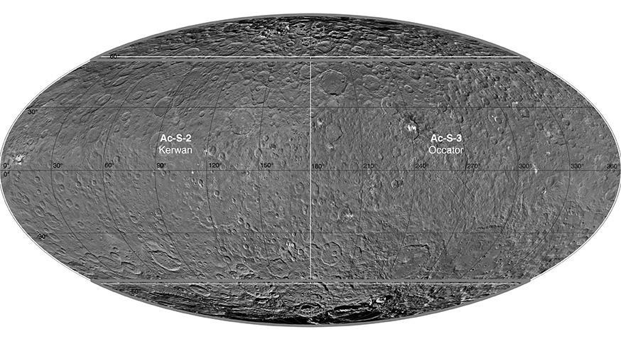
This atlas of Ceres was created using images taken by NASA Dawn spacecraft in June 2015. Researchers used 12,000 points on Ceres to construct a terrain model, which served as the basis for other maps. http://photojournal.jpl.nasa.gov/catal…
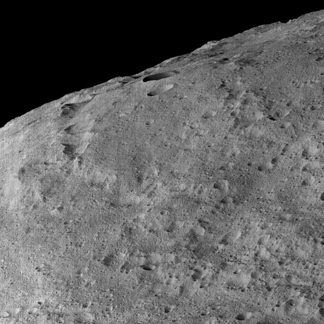
This view of Ceres, taken by NASA Dawn spacecraft on December 10, 2015, shows an area in the southern mid-latitudes of the dwarf planet.
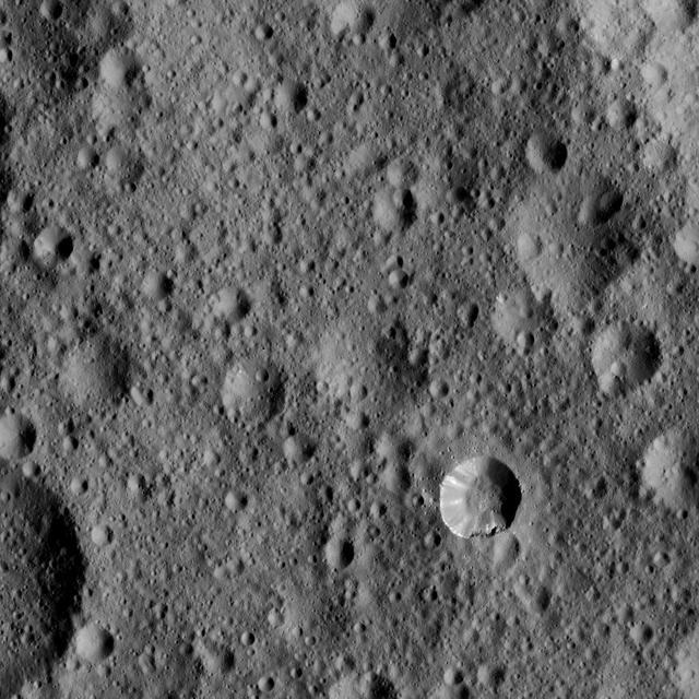
This view from NASA's Dawn spacecraft shows cratered terrain typical of Ceres, with a small bright crater highlighting the scene at lower right. The view is centered at approximately 37 degrees north latitude, 349 degrees east longitude.…
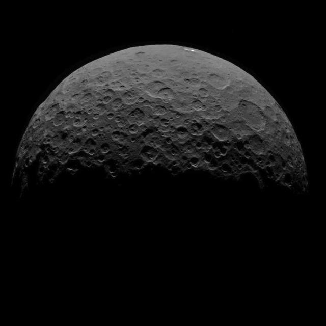
This image of Ceres is part of a sequence taken by NASA Dawn spacecraft on May 1, 2015, from a distance of 8,400 miles 13,600 kilometers. http://photojournal.jpl.nasa.gov/catalog/PIA19551

NASA Dawn spacecraft captured this image of unnamed craters in the southern hemisphere of Ceres on Dec. 18, 2015. The image is centered at approximately 45 degrees south latitude, 325 degrees east longitude. Dawn took this image on Dec. 18…
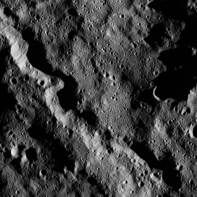
This view from NASA Dawn spacecraft shows a sinuous canyon in the southern hemisphere of Ceres, south of Yalode Crater.

This image, taken by NASA Dawn spacecraft, shows a portion of the southern hemisphere of dwarf planet Ceres from an altitude of 915 miles 1,470 kilometers. The image, with a resolution of 450 feet 140 meters per pixel, was taken on August 2…

This view of Ceres from NASA Dawn spacecraft, taken on May 29, 2016, features a small crater at upper left that adjoins Messor Crater. Dawn took this image on May 29, 2016, from its low-altitude mapping orbit, at a distance of about 240 mi…
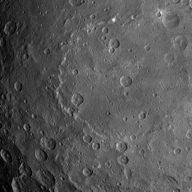
This image, taken by NASA's Dawn spacecraft, shows dwarf planet Ceres from an altitude of 2,700 miles (4,400 kilometers). The image, with a resolution of 1,400 feet (410 meters) per pixel, was taken on June 25, 2015. http://photojournal.jp…
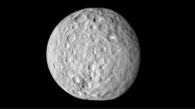
The surface of Ceres is covered with craters of many shapes and sizes, as seen in this frame from an animation of a map of the dwarf planet surface as seen by NASA Dawn spacecraft on Feb. 19, 2015.
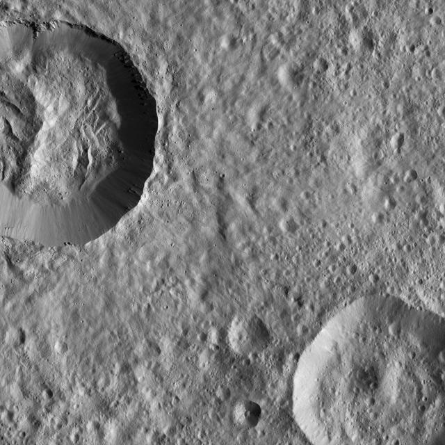
This image from NASA Dawn spacecraft features a relatively fresh crater on Ceres with prominent spurs of compacted material and gullies along its rim. Boulders of a variety of sizes litter the crater floor and the area around its rim.
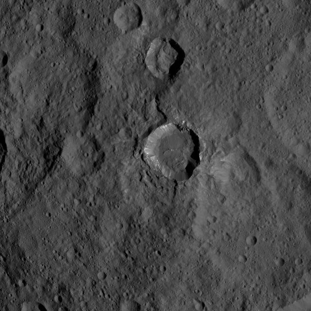
This view of Ceres from NASA's Dawn spacecraft shows a fresh impact crater with a flat floor. The crater is surrounded by smooth, flow-like ejecta that covers adjacent older impact craters. The crater is about 16 miles (26 kilometers) in di…

This image, taken by NASA Dawn spacecraft, shows a portion of the southern hemisphere of dwarf planet Ceres from an altitude of 915 miles 1,470 kilometers. The image was taken on Sept. 21, 2015, and has a resolution of 450 feet 140 meters p…
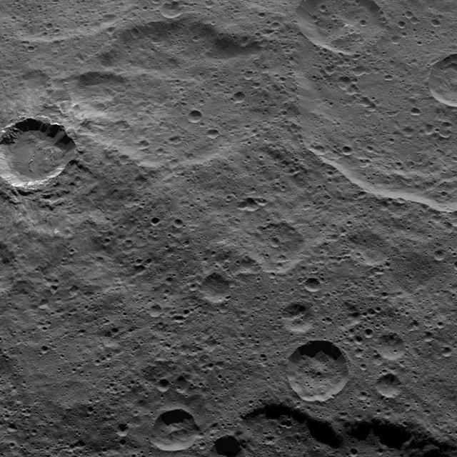
This view from NASA Dawn spacecraft, taken on Oct. 17, 2015, from an altitude of 915 miles 1,470 kilometers, shows southern mid-latitudes on Ceres, including a relatively fresh crater near upper left. http://photojournal.jpl.nasa.gov/catal…
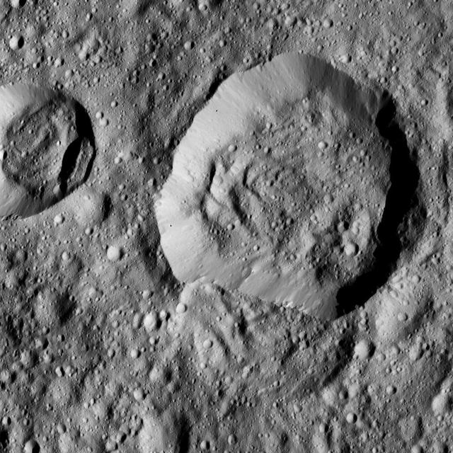
This view from NASA's Dawn spacecraft features Liber Crater (14 miles, 23 kilometers wide) in Ceres' northern hemisphere, at right. Dawn took this image on June 17, 2016, from its low-altitude mapping orbit, at a distance of about 240 mile…

This image, taken by NASA's Dawn spacecraft, shows a portion of the southern hemisphere of dwarf planet Ceres from an altitude of 2,700 miles (4,400 kilometers). The image, with a resolution of 1,400 feet (410 meters) per pixel, was taken o…

This view from NASA Dawn spacecraft shows a moderate-sized impact feature that is imprinted upon the southern rim of Mondamin Crater. Boulders of various sizes can be seen around the crater rim and on the sunlit part of its floor.
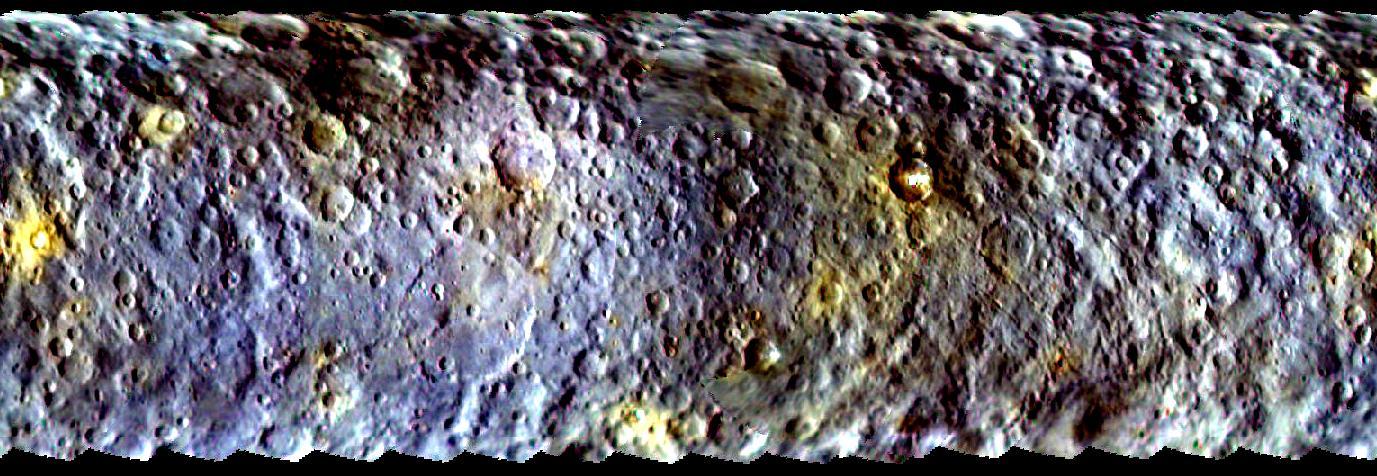
This map-projected view of Ceres was created from images taken by NASA Dawn spacecraft during its initial approach to the dwarf planet, prior to being captured into orbit in March 2015.
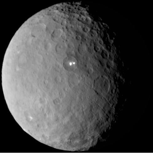
Ceres rotates in this frame from a movie comprised of images taken by NASA Dawn mission during its approach to the dwarf planet. The images were taken on Feb. 19, 2015, from a distance of nearly 29,000 miles 46,000 kilometers.
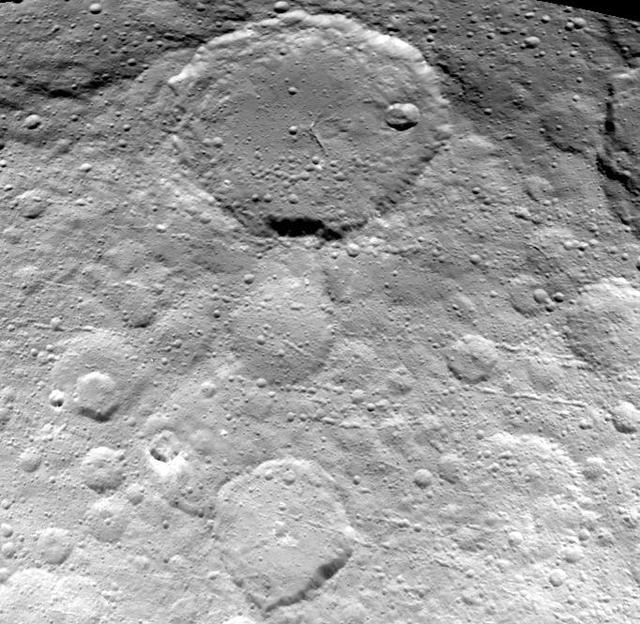
This image of Ceres is part of a sequence taken by NASA Dawn spacecraft on May 23, 2015, from a distance of 3,169 miles 5,100 kilometers. Resolution in the image is about 1,565 feet 477 meters per pixel.
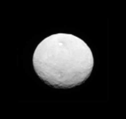
This still from an animation showcases a series of images NASA Dawn spacecraft took on approach to Ceres on Feb. 4, 2015 at a distance of about 90,000 miles 145,000 kilometers from the dwarf planet. http://photojournal.jpl.nasa.gov/catalog…

This moody scene on Ceres is located within Zadeni Crater, named for the ancient Georgian god of bountiful harvest. Zadeni is approximately 76 miles (120 kilometers) in diameter. NASA's Dawn spacecraft took this image on June 15, 2016, fro…
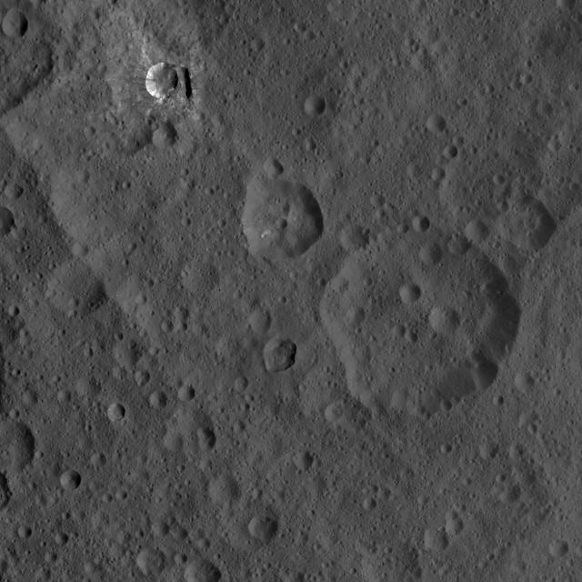
This image of Ceres, taken by NASA's Dawn spacecraft, shows three prominent craters located to the northeast of a terrace (the terrace feature being located at left in this image). The lower two craters, which are larger, have polygonal rim…